Contact Us :
Ambolgad Fort RATNAGIRI , RAJAPUR
Ambolgad Fort Ambolgad Fort Ambolgad Fort Ambolgad Fort
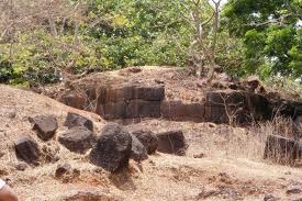
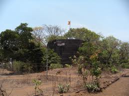
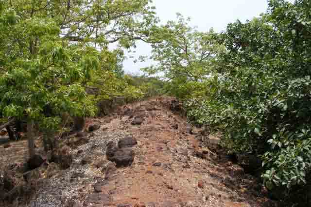
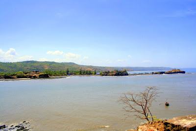
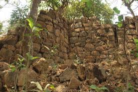
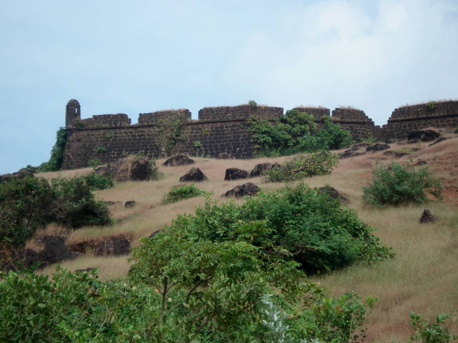
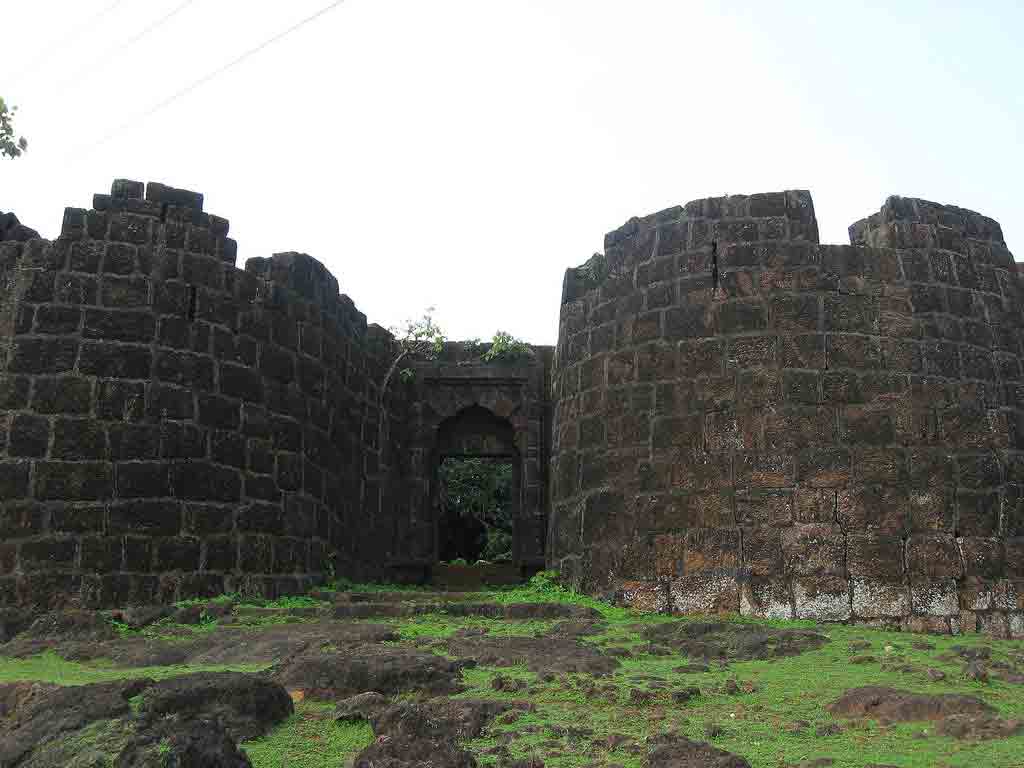
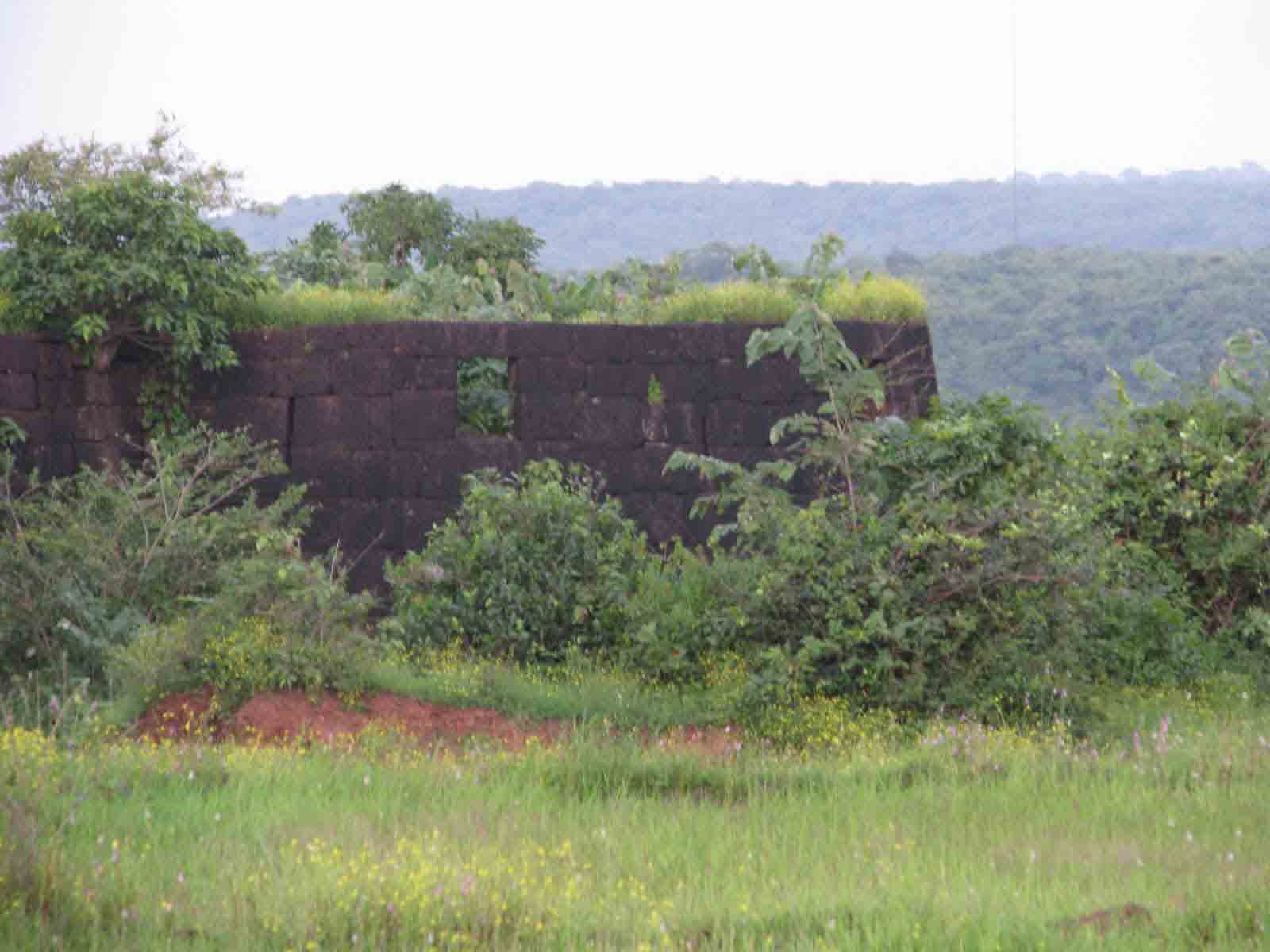
Ambolgad Fort (Rajapur): on the bay at the north entrance of the Rajapur river, raised very little above sea level and with a ditch on the north and west sides, covers an area of a quarter of an acre. In 1818 the fort surrendered to the British forces. There is no water. The walls and bastions of the fort are now ruined.
Places to see nearby :
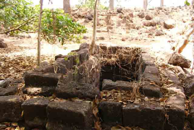
Ambolgad is situated at a height from the main sea level. The total area covered by the fort is approximately 1200 Sq. Metres. It has the sea guarding it from the South and has deep moats on the northern and weste
n side. The current condition of the fort is very bad. A small part of the fortification and walls on the sea side are still visible. Apart from this, there is a square well and remnants and plinths of various constructions in the fort. The Math of Gagangiri Maharaj is situated near the fort.
Other Details
By Air :
Mumbai is nearest airport.
By Rail :
There is no railway station near to Ambolgad in less than 10 km. Ratnagiri Rail Way Station (near to Ratnagiri) are the Rail way stations reachable from near by towns.
By Road :
Mumbai Ambolgad Distance - 610 kms. The route to this fort goes from Rantagiri – Adivare – Nate – Ambolgad. The other route is through Rajapur – Nate – Ambolgad


