Contact Us :
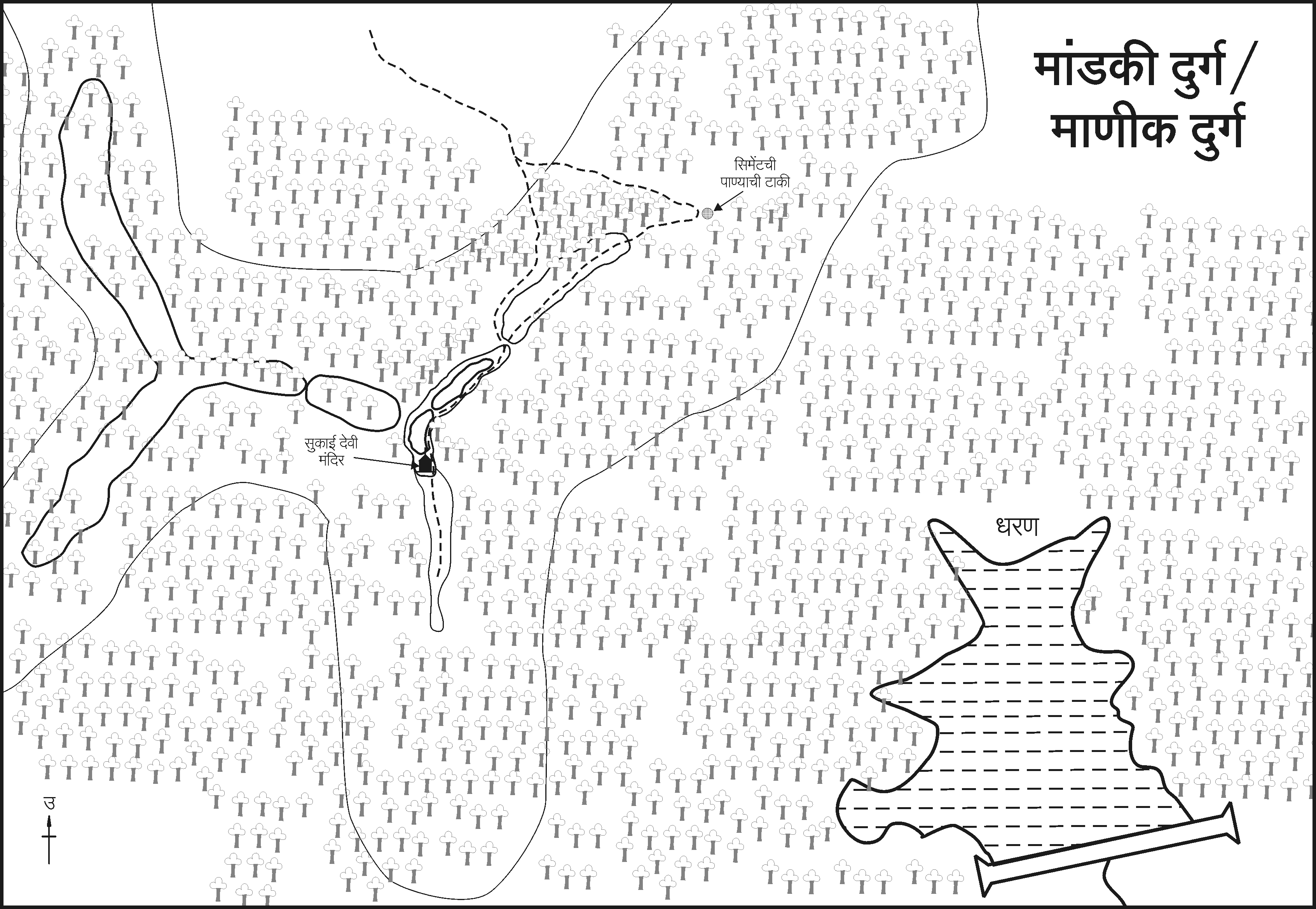
Manikdurg Fort RATNAGIRI , MANDKI VILLAGE -माणिकदुर्ग किल्ला रत्नागिरी, मांडकी गाव
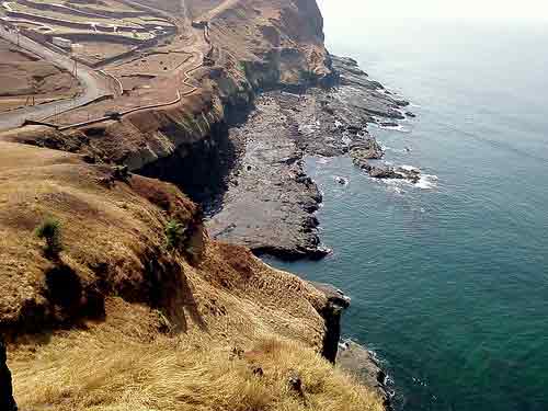
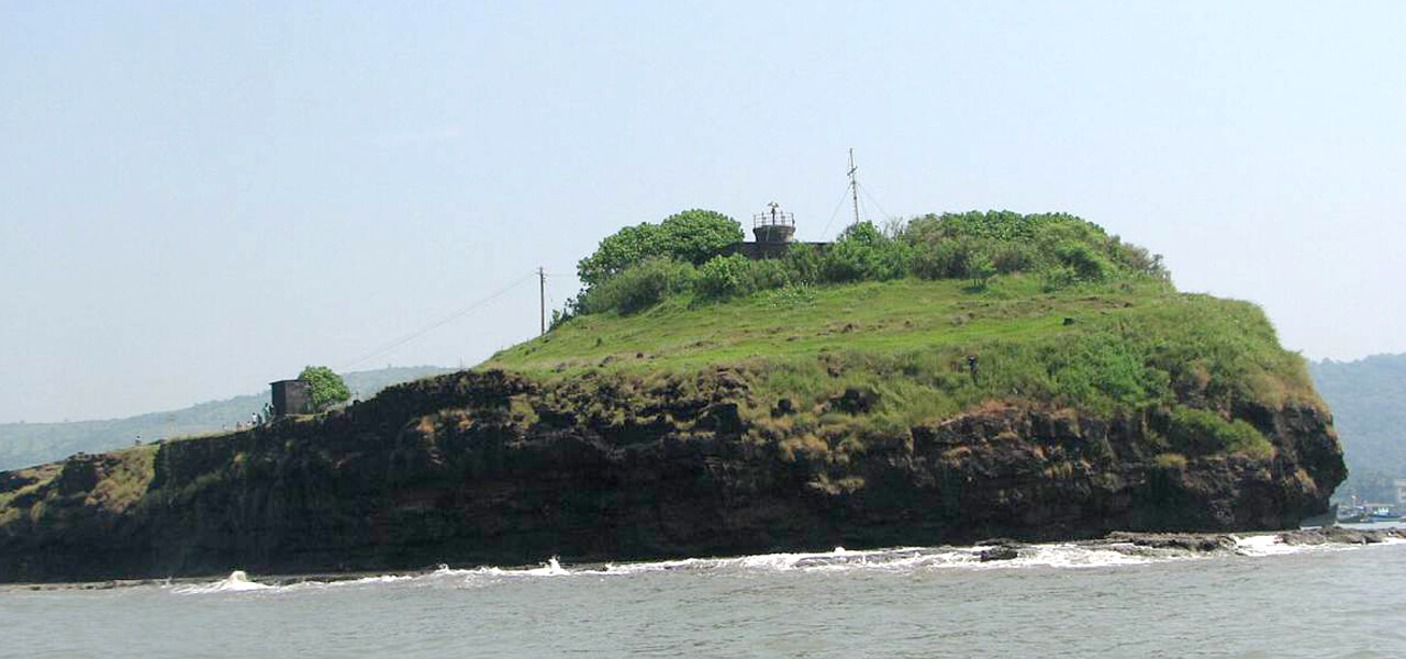
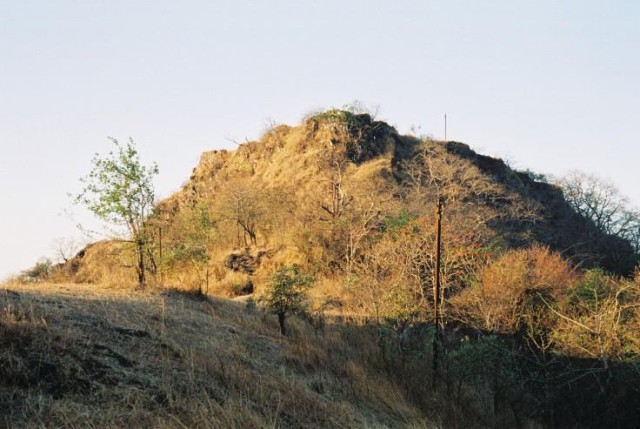
Manikgad is one of the fort from the many forts on the Mumbai-Pune highway. It is situated near Mandki village in Chiplun Taluka. The height of this fort is 2500 feet.
History: Manikgad was built by the last Mana Naga King - Gahilu. The Mana Nagas settled in this area around 9 CE. Initially, the fort was named Manikagad after the patron deity of the Mana Nagas - Manikadevi - but later on this got shortened to Manikgad. After that Manikgad was part of Vijaynagar Empire.
Food facility: By yourself.
Drinking water: Tanks are on fort provide drinking water.
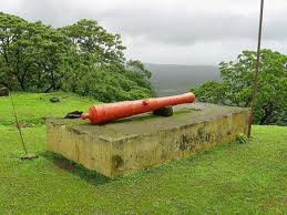
On the top we find the temple of Sukai Devi. The
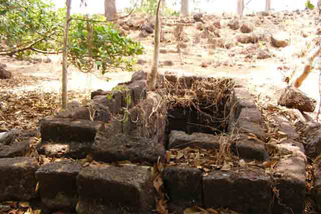
emnants are scattered everywhere in the forests. On the water tank we find stone carvings of Yakshas. Due to dense tree cover, we can see birds and butterflies here.
Map : Manikdurg Fort Map
Other Details
By Air :
Mumbai is nearest airport.
By Rail :
Chiplun is the nearest railway station.
By Road :
Chiplun-Savarde-Mandki distance is at 27 km. The road to Mandki village goes from Savarde village on Mumbai-Goa highway. Savarde-Mandki distance is 7 km and Savarde station - Mandki distance is 2 km. From the Amba stop in Mandki, the road to the left takes us to the fort base. The path to the fort goes through dense tree cover. It takes one hour to reach the top.


